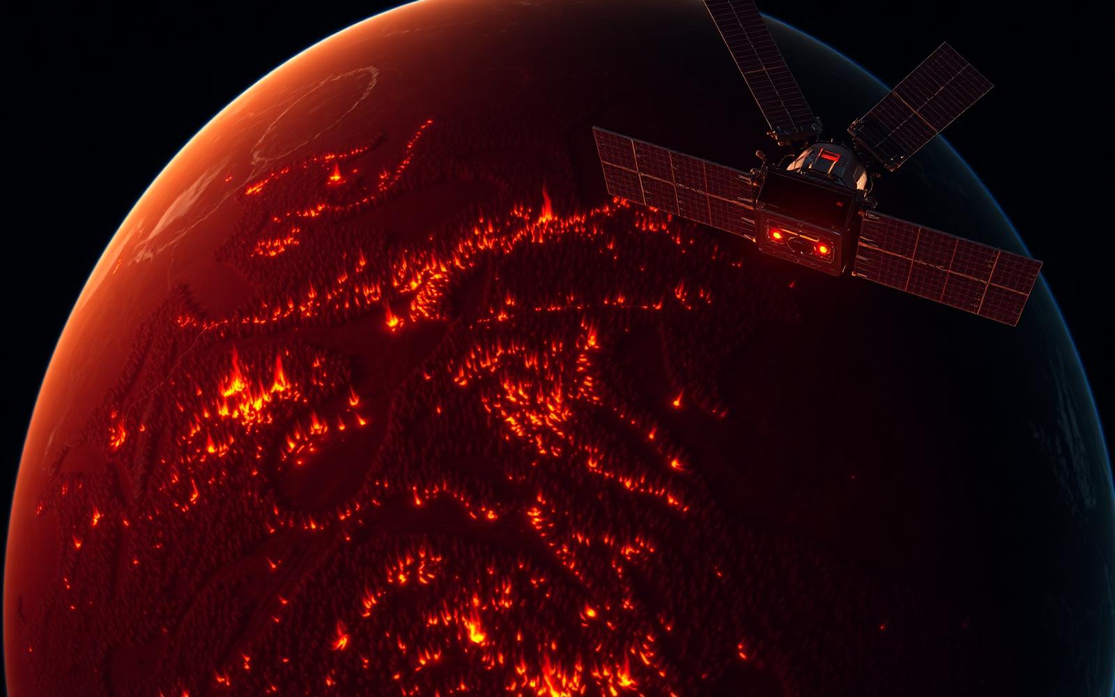
Satellite-Based Wildfire Detection
As distribution and solution partner for OroraTech, we deliver thermal-infrared satellite intelligence for early wildfire detection, monitoring and emergency response across large geographic areas — day and night.
Operational capabilities
Satellite-based detection
Thermal-infrared Earth observation from LEO satellite constellations.
Near-real-time alerts
Rapid alerting with fire location and perimeter information.
Broad-area coverage
Continuous monitoring of large geographic regions, day and night.
Heat intensity analysis
Active-fire monitoring and thermal anomaly characterisation.
Operational alerting
Dashboards, notifications and API integration into your workflows.
Historical analytics
Historical fire and thermal data for risk analysis and reporting.
Critical asset monitoring
Risk monitoring for forests, pipelines, power grids and industrial sites.
Integrates with ground systems
Complements cameras, sensors, drones and aerial patrols.
OroraTech Wildfire Solution
A complete, satellite-first wildfire intelligence platform combining a dedicated thermal-infrared CubeSat constellation, partner satellite feeds, AI-based detection and an operations-ready web platform and API.
FOREST — Thermal-Infrared CubeSats
OroraTech's own LEO constellation of CubeSats equipped with high-resolution thermal-infrared cameras, purpose-built for wildfire detection with high revisit frequency.
Wildfire Solution Platform
A web-based operations dashboard showing active fires, hotspots, perimeters, wind and weather layers, asset zones and historical fire data — 24/7 monitored by OroraTech's Wildfire Intelligence Center.
Wildfire Data API
REST API and data feeds for integration with GIS platforms, control rooms, SCADA systems and incident management tools.
Detections & Alerts
Push, e-mail and SMS notifications with fire location, confidence, satellite source, timestamp and perimeter data.
Why satellite-first wildfire intelligence
- 24/7 coverage — day and night, including remote areas
- Dedicated thermal-infrared constellation with high revisit
- Rapid alerting, typically minutes after detection
- Independent verification for ground and camera systems
- Broad-area coverage without local infrastructure
- Historical thermal archive for risk analysis
Use cases
Forestry & Public Authorities
Nationwide 24/7 monitoring of forest areas and rapid dispatch of ground and aerial resources.
Energy Utilities & Grids
Protection of transmission lines and substations from wildfire ignitions and encroaching fire fronts.
Oil, Gas & Pipelines
Route surveillance across long linear assets in remote terrain, with automatic asset-based alerting.
Renewable Energy
Wildfire risk monitoring for solar farms, wind parks and biomass facilities.
Industrial Facilities
Thermal anomaly detection around industrial and storage sites in high-risk regions.
Civil Protection & Insurance
Situational awareness, damage assessment and historical fire analytics for risk modelling.
Built for critical operators
Forestry authorities, municipalities, energy and pipeline operators, power grids, industrial facilities and civil protection agencies rely on satellite thermal intelligence to detect fires early — including in remote, inaccessible areas and at night.
A complement to ground systems
Satellite monitoring extends the reach of ground sensors, tower cameras, drones and aerial patrols by providing broad-area, continuous coverage and independent verification.